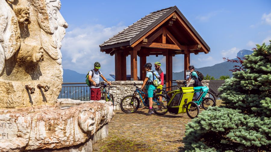
If you’re a mountain biking enthusiast, or even better, an e-biking enthusiast, don’t miss the opportunity to explore several hikes in Asiago, Italy, such as the one to Forte Corbin and Mount Cengio. This route provides an opportunity to delve into the history and natural beauty of the Asiago Plateau, featuring breathtaking views and remnants of the Great War.
It’s an unforgettable opportunity to discover the beauty of the Vicenza Prealps on two wheels.
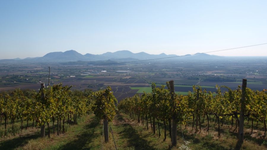
Here’s a preview of the panorama: Mount Cengio is a rocky massif of the Vicentine Prealps that stands tall over the expanses of the Po Valley. The turquoise Astico River forms a boundary between these two worlds, creating an alluring backdrop for the itinerary as it flows through the valley that shares its name.
Let’s head to Fort Corbin and Mount Cengio on the footsteps of the Great War
Technical details
- Departure point: Church of Treschè Conca
- Length: 22 km (14 miles)
- Elevation gain: 530 meters
- Maximum altitude: 1287 meters
- Difficulty level: medium
- Estimated riding time: 2 hours and 30 minutes
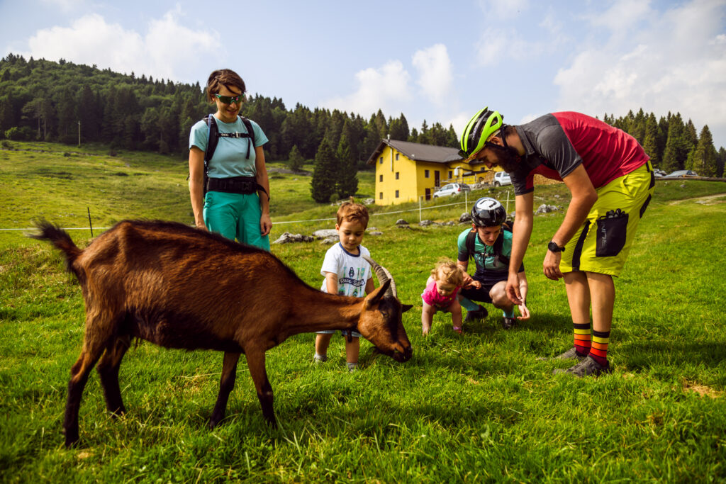
- Stops: Refreshment at Fort Corbin, Mount Cengio and Malga Roccolo (Mountain Hut)
- Peaks covered: Mount Cengio
This picturesque loop trail spans 22 km starts from Treschè Conca, a hamlet near Rotzo and Roana, and follows trail number 8 to Fort Corbin. The hike is of medium difficulty and the total elevation gain of 600 meters is evenly distributed, without encountering steep slopes. The trail encompasses both asphalt and dirt tracks, and the only exposed point is on Mount Cengio, which overlooks the Val d’Astico.
A step back in time at the Fort
Designed as a war machine, this architectural masterpiece was built between 1906 and 1911 and was the largest, best-maintained, and only Italian fort equipped with 6 cannons on the plateau. Today, Fort Corbin has been transformed into a museum open to the public and boasts a stunning location, perched on a rocky outcrop overlooking the plain.
During the war, Fort Corbin underwent heavy bombardment by the Austrians but managed to withstand the assault. It was only gained by the Austrians during the “Strafexpedition” and was later abandoned and damaged by salvagers trying to recover material. In 1942, the land was sold to private individuals, who still manage and maintain it to this day. The visit lasts approximately an hour.
The route proceeds until it reaches Mount Cengio, the highest point of the itinerary, situated at an altitude of 1287 meters above sea level. The climb, which is mostly on a paved road, is not too demanding. From the summit of Cengio, you can enjoy the breathtaking view of the winding scenic road over the plain and Fort Corbin, one of the most significant forts on the Asiago Plateau.
Mount Cengio, the last Italian stronghold
Mount Cengio was the site of crucial battles during the conflict, involving the Grenadiers of Sardinia. It was the final defensive stronghold for the Italians before the Austrians could easily descend onto the plain. Thanks to the extraordinary sacrifice of over 10,000 soldiers, the Italians managed to resist the Austrian advance. Visitors can explore the numerous tunnels that linked various artillery positions, serving as a poignant reminder of the intense battles that took place in this region.
To complete the loop and return to the starting point, you will pass through Malga Roccolo, a must-visit for food enthusiasts. Along the route, there are several refreshment areas at Fort Corbin and the Grenadiers’ refuge at Mount Cengio.
| Keep reading: Hiking in Asiago |


